Zona de vuelo
cerro lucky
Antofagasta – Chile
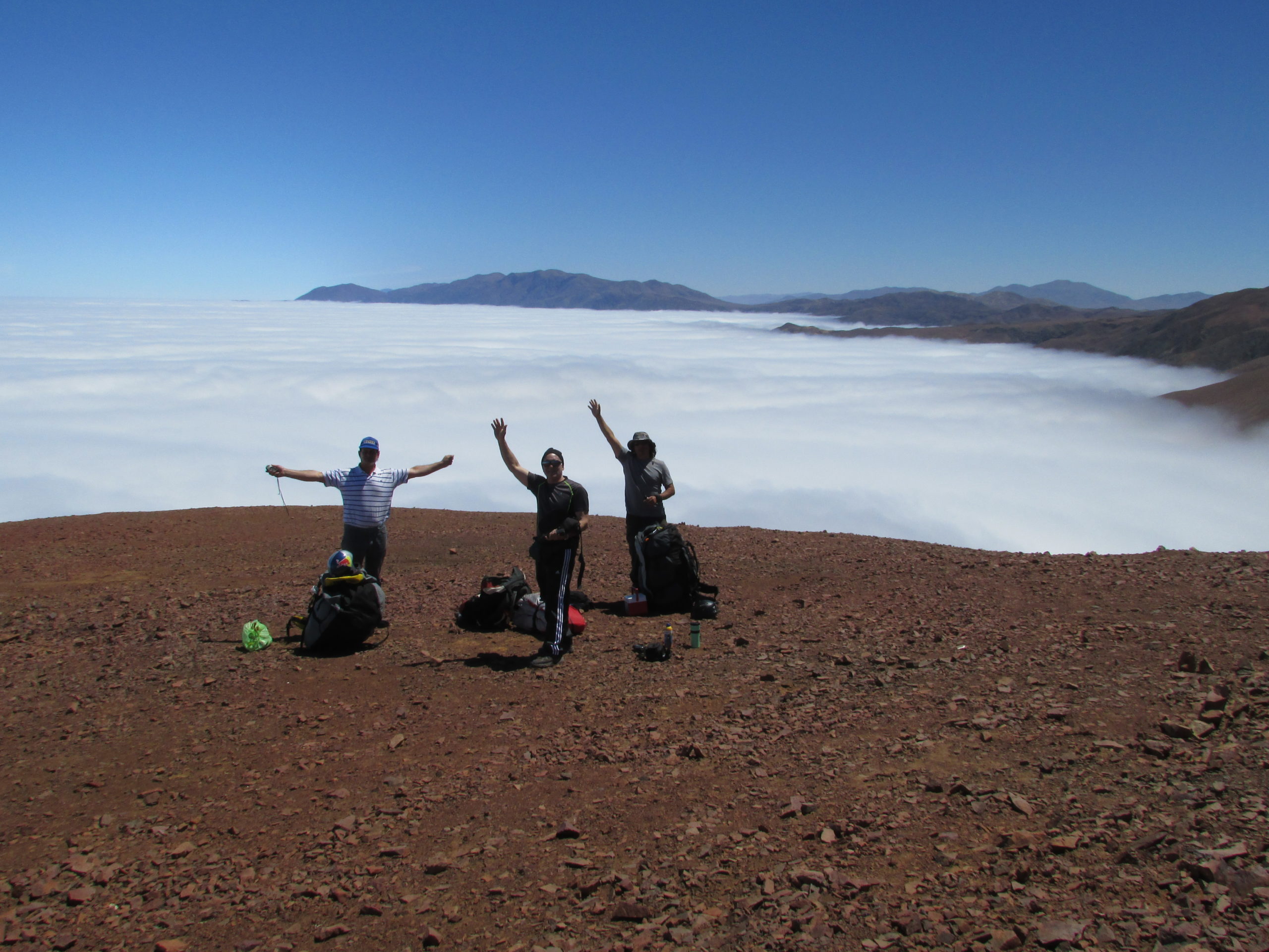
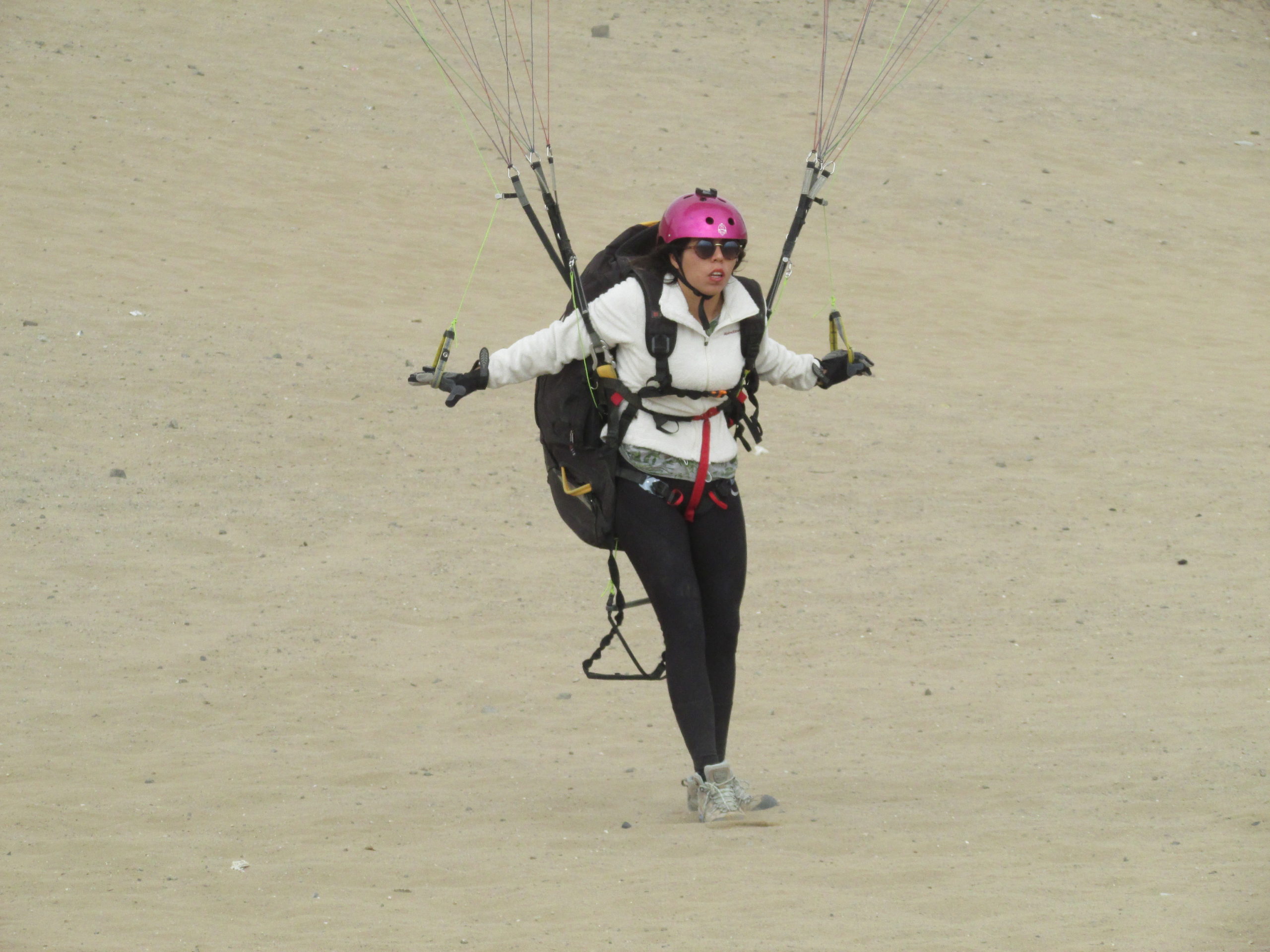
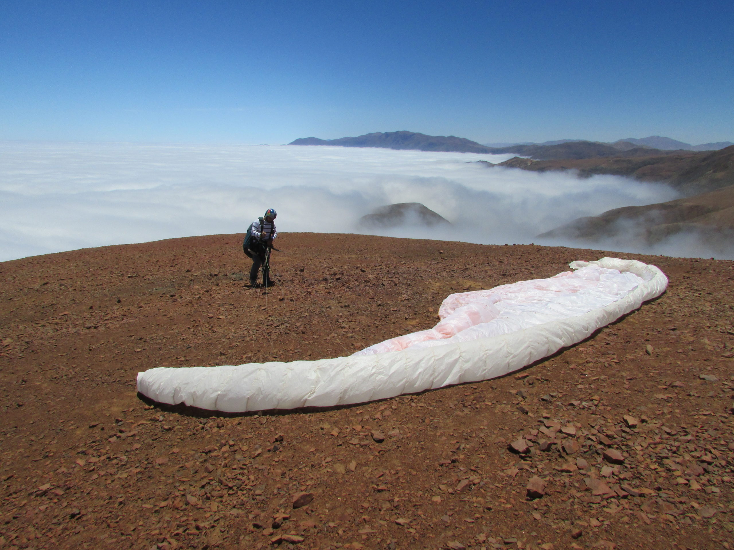
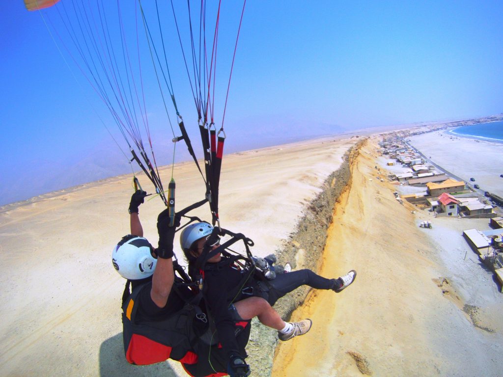
Te damos la bienvenida a la zona de vuelo «Cerro Lucky», también conocida por muchos como «El 1.200» pues permite despegar desde una altura aproximada a 1.200 Mts. de altura respecto del nivel del mar, lo cual lo convierte en un lugar muy apreciado por los los pilotos que han tenido la suerte de despegar desde ese sitio y realizar grandes vuelos de diferente tipo, permite realizar un gran planeo de aproximadamente 15 minutos hasta el balneario Hornitos, o habiendo buenas condiciones permite realizar vuelos XC hacia el Norte, habiendo registros de varios pilotos ya que han aterrizado en la ciudad Iquique tras realizar este increíble vuelo de ruta.
We welcome you to the «Cerro Lucky» flight area, also known by many as «El 1,200» as it allows you to take off from an approximate height of 1,200 meters. high above sea level, which makes it a highly appreciated place by pilots who have been lucky enough to take off from this place and make large flights of different types, allowing for a long glide of approximately 15 minutes to the Hornitos Beach, or having good conditions allows for XC flights to the North, there are records of several pilots since they have landed at Iquique city after making this incredible route flight.
Administración de la Zona de Vuelo según Resol. Exenta DASA DGAC N° 059 de fecha 08 ENE. 2024 Club de Parapente "Barlovento"

Pronóstico de viento en Cerro Lucky
Últimos METAR Antofagasta
| Frec. Zona de Vuelo: | 150,670 Mhz. | VHF/FM |
| Frec. Emergencia / Rescate: | 150,550 Mhz. | VHF/FM |
| Frec. Instrucción #1 | 152,740 Mhz. | VHF/FM |
| Frec. Instrucción #2 | 154,450 Mhz. | VHF/FM |
| Frec. SAMU | 168,475 Mhz. | VHF/FM |
Obligatorio
Para volar en la zona de vuelo “Cerro Lucky” es obligatorio:
- Solicitar autorización con anterioridad al coordinador terrestre de la zona de vuelo.
- Informar a las dependencias Aeronáuticas sobre el inicio y término.
- Contar y portar licencia aeronáutica.
- Registro del Equipo de vuelo.
- Utilizar equipo de radio VHF/FM sintonizado en la frecuencia de la zona de vuelo.
- Utilizar algún instrumento de orientación terrestre, al menos una brújula.
- Utilizar casco de vuelo.
- Respetar los límites horizontales y verticales de la zona de vuelo.
- La zona permite un máximo de 12 aeronaves operando en forma simultánea, una cantidad mayor debe ser debidamente coordinada con anterioridad.
Mandatory
To operate at “Cerro Lucky” flight zone it is mandatory:
- Authorization in advance from the Ground Coordinator.
- Inform to the Aeronautical Departments about the start and end of operations.
- To have and carry on an aeronautical license.
- Visible record of flight equipment.
- To have VHF/FM radio equipment tuned to the frequency of the flight area.
- Use some terrestrial orientation instrument, at least a compass.
- To have flight helmet.
- To have emergency parachute.
- To respect the horizontal and vertical limits of the flight area.
- The area allows a maximum of 12 aircraft operating simultaneously, a larger number must be duly coordinated in advance.
Recomendaciones
- Utilizar indicador de viento.
- Realizar los vuelos en las mañanas.
- Usar bloqueador solar.
- Mantenerse hidratado.
- Utilizar guantes.
- Utilizar ropa de abrigo adecuada.
- Utilizar calzado adecuado.
- Realizar inspección pre-vuelo al equipamiento.
- No volar solo.
- Informar despegue y arribo en la frecuencia de la zona de vuelo.
Recommendations
- To use wind indicator.
- To plan flights at the morning.
- To use sunscreen.
- To keep hydrated.
- To use suitable gloves.
- Wear appropriate warm clothing.
- To use appropriate footwear.
- Perform pre-flight inspection to the equipment.
- Do not fly alone.
- Report takeoff and arrival on the flight zone frequency.
Información General
- General Information
Coordenadas de la zona de vuelo
Flight area coordinates
Círculo de radio 2.000 Mts a partir de la coordenada 22°58′09″S/70°16′00″W
Circle of radius 2,000 Mts from the coordinate 22°58’09″S/70°16’00″W
Recomendado: a partir de las 11:00 hrs. hasta 30´antes de FCCV
Recommended from 11:00 until 30´ before FCCV
Dirección predominante del viento: 240°
Prevailing wind direction: 240°
Elevación del lugar de despegue: 1.200 Mts. (3.600 Ft.) ASL
Elevation of take-off location: 1.200 Mts. (3.600 Ft.) ASL
Techo de operaciones de la Zona de Vuelo: 750 Mts. (3.600 Ft.)
Flight Zone Operations Ceiling: 1.300 Mts. (3.800 Ft.)
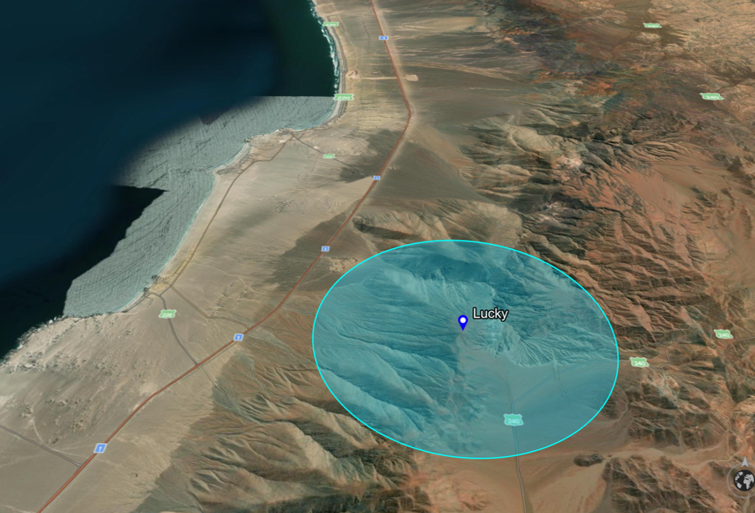
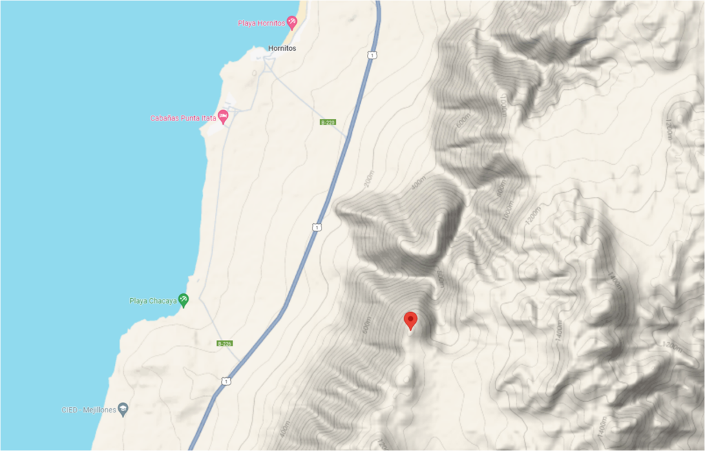
- Enlace a Google maps de la zona de vuelo Cerro Lucky
- Link to Google maps of Cerro Lucky flight area
- DGAC Torre de Control (TWR)
- +5655223307815
- DGAC Control de Aproximación (APP)
- +5655223307813
- DGAC Oficina de Operaciones (ARO)
- +5655223307821
- +5655223307822
- DGAC Meteorología (MET)
- +5655223307926
- Investigador de accidentes de turno
- +56991581824
- DGAC DSO Sección Aviación General
- +56998180872
- +56998263227

